Place Names
Empire Grade
Opal Cliffs
Amesti Road
HISTORY
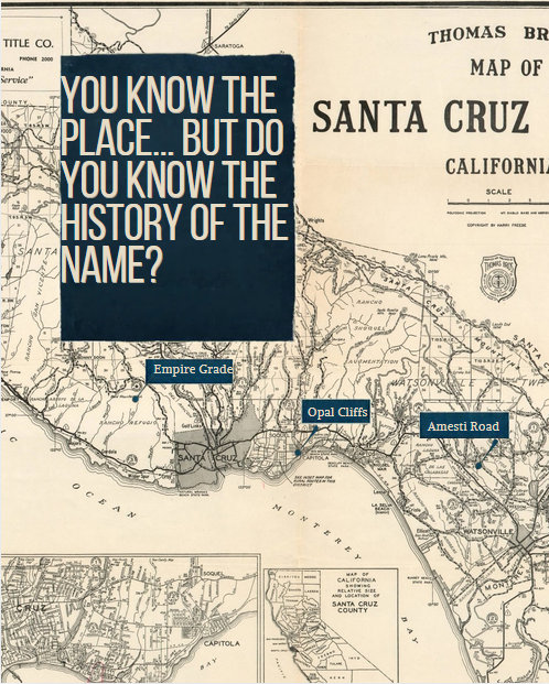
Empire Grade: This 15 mile road runs the length of Ben Lomond [mountain] from Eagle Rock to Santa Cruz City limits where the name is changed to High Street. It was built in 1872 and takes its name from the Empire Mining Company. The Empire Mining Company was established in the early 1850s when gold and silver was discovered in the Santa Cruz Mountains. Grade was a term commonly used in at the turn of the century for an improved road, especially one in a hilly or mountainous region.
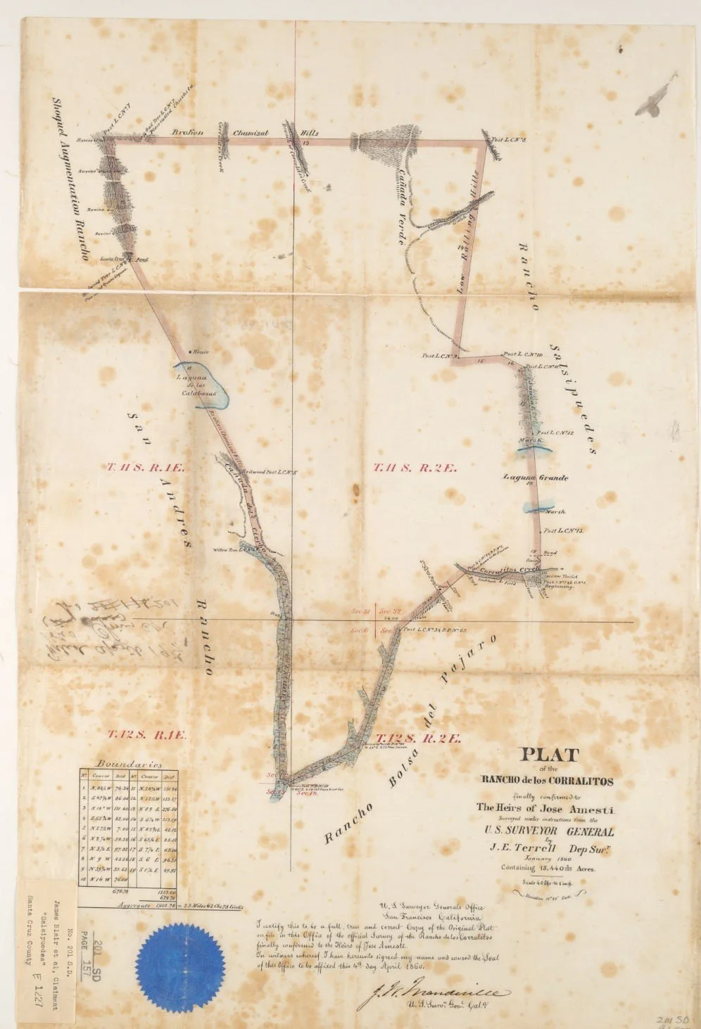
Amesti Road: Amesti was the name given to a settlement that grew up around the Amesti adobe which was located near Pinto Lake. The road runs from Green Valley Road northwesterly to Browns Valley Road. It was named for Jose Amesti who came to California in 1822, married Prudenciana Vallejo and owned the 15,440-acre Rancho Los Corralitos, a Mexican land grant awarded in 1823 and confirmed in 1860. Rancho Los Corralitos was located north of Watsonville. Amesti was a prominent citizen and merchant in Santa Cruz and Monterey.
Opal Cliffs: In 1884, Frederick Hihn leased land west of Capitola to the Loma Prieta Lumber Company for a train stop called Opal. The site stored lumber from mills above Aptos and included a planing mill and store. The spur was abandoned in 1931. The name carried on in the subdivision of the Opal Cliffs Tract in opening in 1936. The book, Capitola Companion by Frank Perry notes that the developerrequired all buildings be of “stucco and tile type or Early California or Monterey type”. Nearby streets in an adjacent subdivision were given similar gem names such as Garnet, Diamond, Jade, Topaz and Crystal and Opal Street, now known as the Jewel Box neighborhood.
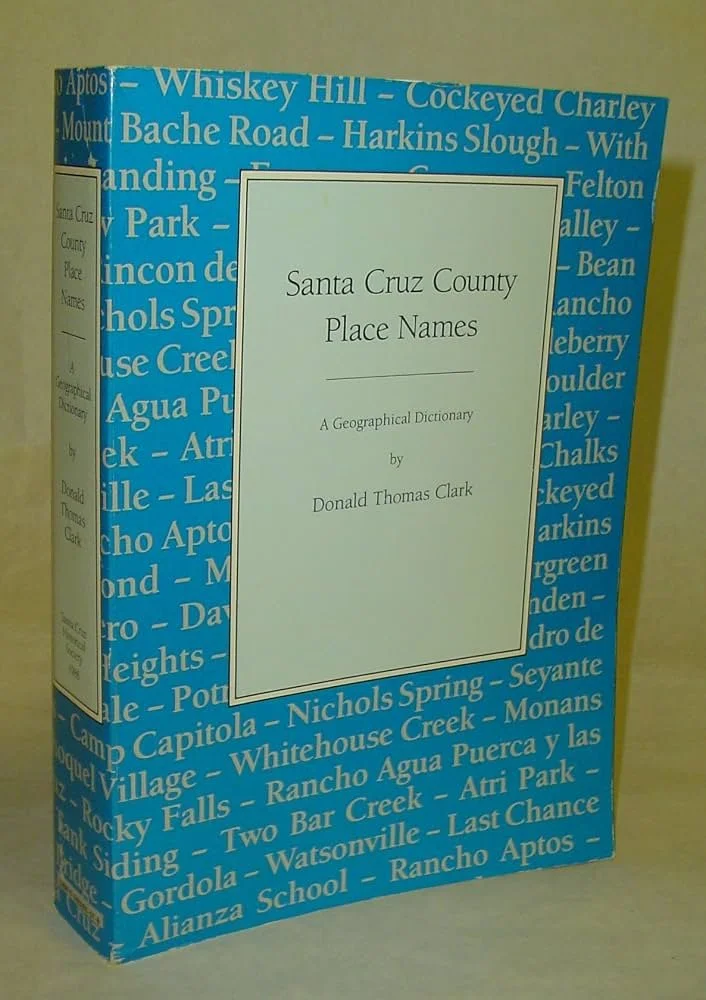
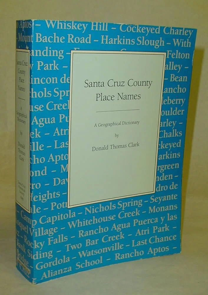
Donald T. Clark's Santa Cruz County Place Names was described by historian Sandy Lydon as the "single most important book ever published on Santa Cruz County." With over 1700 distinct place name entries, an extensive analytical glossary, a complete bibliography, 21 maps, and a completely reorganized and updated index. Clark gives the location, derivation (if known), and sources where the name has been used. It was first published in 1986, with a second edition printed in 2008 incorporating the author's corrections, revisions, and additions. It’s is an invaluable and fascinating book-learn about every name in Santa Cruz County including roads, towns, beaches, rivers, streams, lakes and everything in between!
Want To Learn More?
Santa Cruz County Place Names by Donald Clark.
https://www.goodreads.com/book/show/4592583-santa-cruz-county-place-names
https://calisphere.org/item/c51c2b399be0a0708357c53a37ae6092/
https://slvpost.com/gold-fever-untold-stories-of-the-califonia-and-santa-cruz-gold-rushes/
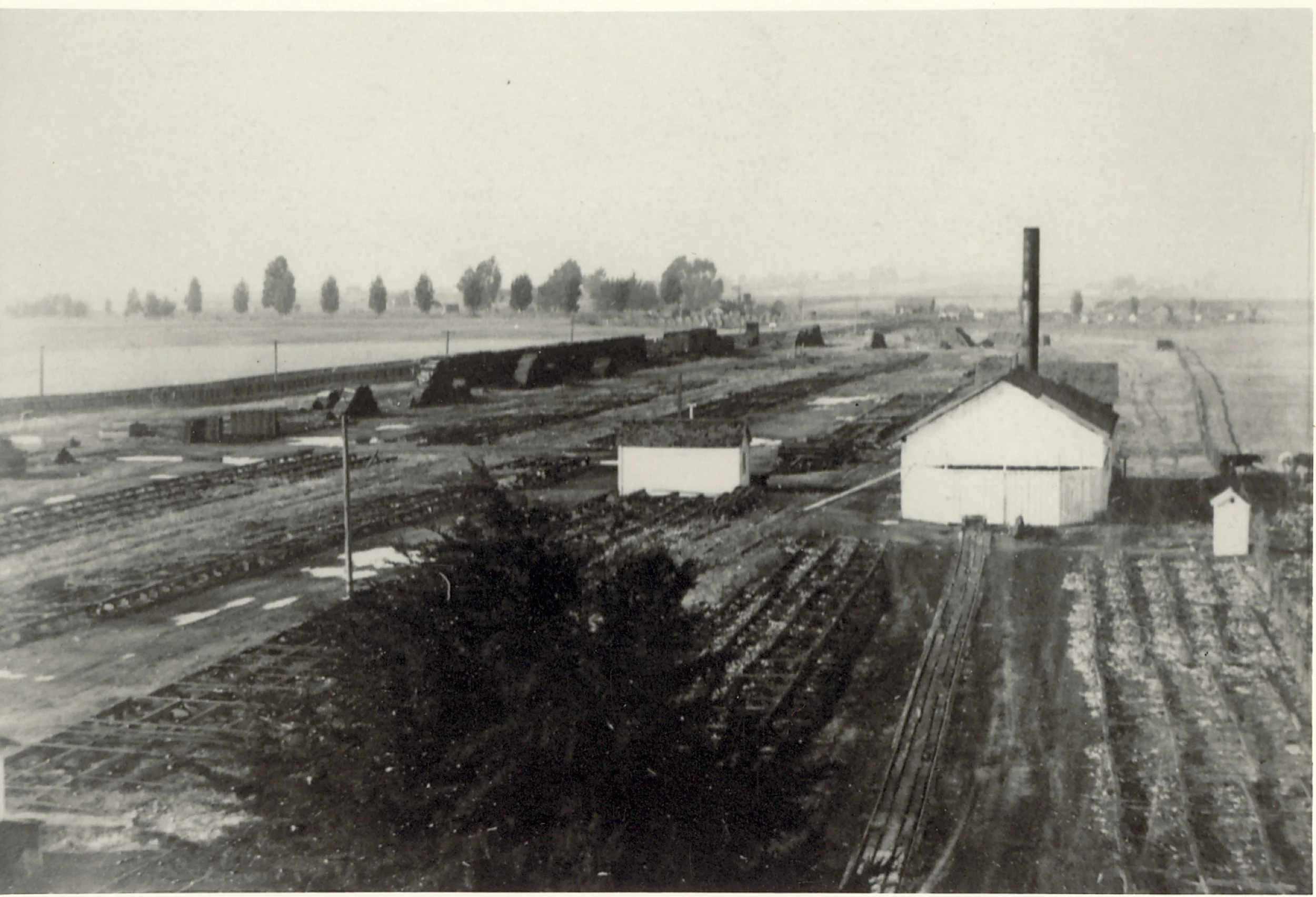
Opal Train Stop. Image courtesy of Carolyn Swift
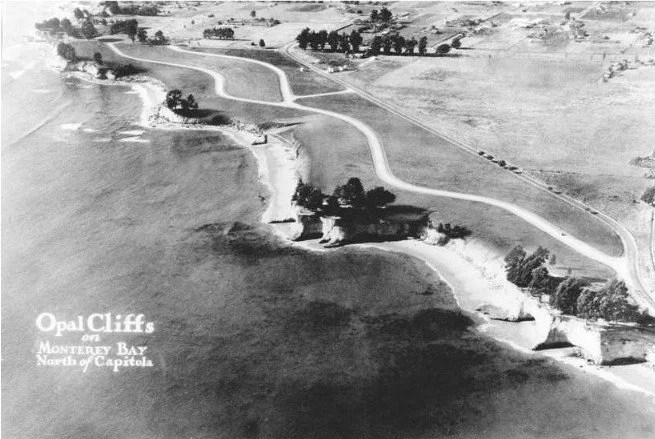
Opal Cliffs development. Image: City of Capitola Context Statement
Plat map of Rancho Los Corralitos. Image: Bancroft Library